
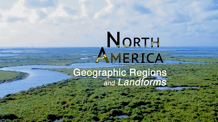
North America Geographic Regions and Landforms
Folgen
S1 F1 – Coastal Plains Geography
 1. Januar 201822 Min.Along the Atlantic Coast's roughly 3,000 miles of oceanfront, the relatively flat lands adjacent to the sea are known as the "Coastal Plain." The Coastal Plain can be as narrow as ten miles in the North. While at its widest point the region extends 400 miles! The Coastal Plain features some of the most beautiful and diverse landforms in all of North America.Als Kauftitel verfügbar
S1 F2 – Appalachian Mountains Geography
1. Januar 201824 Min.The Appalachian Mountains are the oldest mountain range in North America. They date back about 650 million years. The collision between the North American and African plates caused the mountain range to rise up. The Appalachians had become the highpoint of the eastern part of the continent, running from Newfoundland down to the central part of Alabama.Als Kauftitel verfügbarS1 F3 – Canadian Shield Geography
1. Januar 201821 Min.The Canadian Shield has a greater land area with fewer people living in it than any other geographical regionon the North American continent.This geographic region has some of the hardest and oldest rocks to be found anywhere in North America. Scientists estimate there were at least 150 separate volcanic belts, or strings of volcanoes, involved in creating thefoundation of the Canadian Shield.Als Kauftitel verfügbarS1 F4 – Interior Lowlands Geography
1. Januar 201827 Min.The Interior Lowland of the North America is at the heart of the continent.This important region extends from the Canadian Arctic in the north to the Gulf of Mexico in the south.Location of many national geographic photos.The region features terrain with broad river valleys, rolling hills, high bluffs, forested growth, open vistas and many lakes.Als Kauftitel verfügbarS1 F5 – Great Plains Geography
1. Januar 201820 Min.Between the Rocky Mountains and east of the Mississippi River, we find one of the continent's largest regional landforms, The Great Plains. Its most striking feature is its flatness and wide open spaces. The Great Plains encompass all or part of 15 of the United States and three Canadian provinces.250 million years ago it was a vast inland seaknown as the Western Interior Waterway.Als Kauftitel verfügbarS1 F6 – Rocky Mountains Geography
1. Januar 201827 Min.The Rocky Mountains are like the backbone of the North American continent, stretched from top to bottom of the continent like a spine. In this case, the vertebrae are rugged mountain peaks. The true Rockies are found running from the Laird River Basin in the Canadian province of British Columbia to the Sacramento Mountains in the state of New Mexico, a distance of about 3,000 miles.Als Kauftitel verfügbarS1 F7 – Basin and Range Geography
1. Januar 201825 Min.Located between the Rocky Mountains to the east and the Coastal Ranges to the west, this gigantic Basin and Range Region runs for about 5,000 miles from the Bering Sea to the southern end of Mexico.Als Kauftitel verfügbarS1 F8 – Coastal Range Geography
1. Januar 201825 Min.The Coastal Range stretches for over 3,500 miles, from the Alaskan Peninsula in the north, to the tip of the Baja California Peninsula in the south. This region is just a small part of a famous line of tectonic activity that circles the entire Pacific Ocean, known as The Ring of Fire!Als Kauftitel verfügbar
